20200228 Haseley High Water

20200228 Haseley High Water

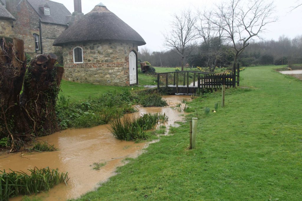
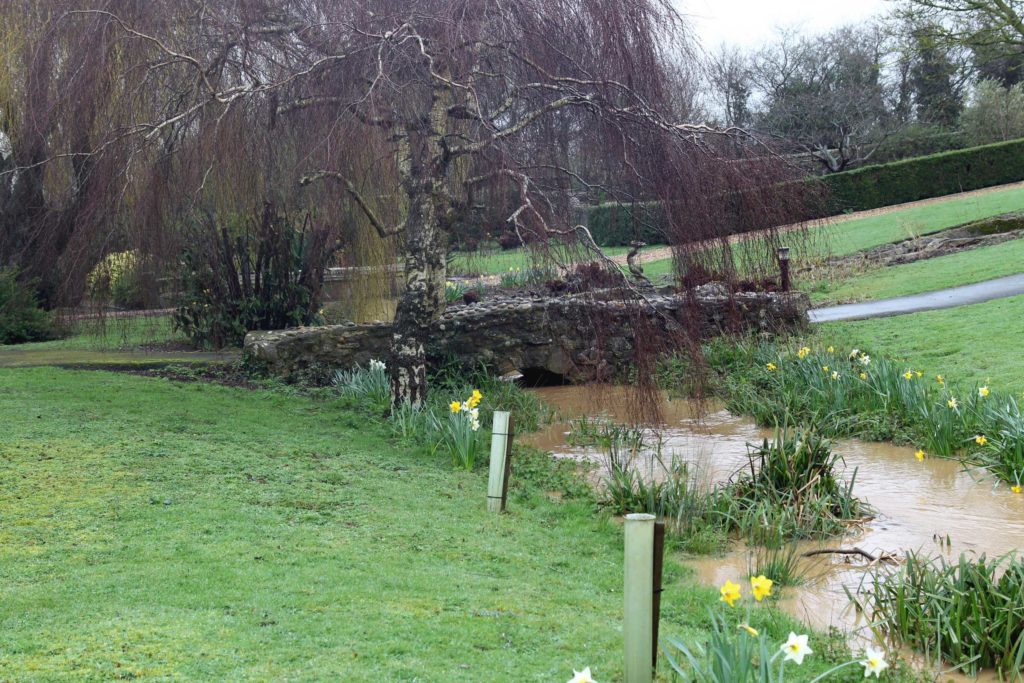
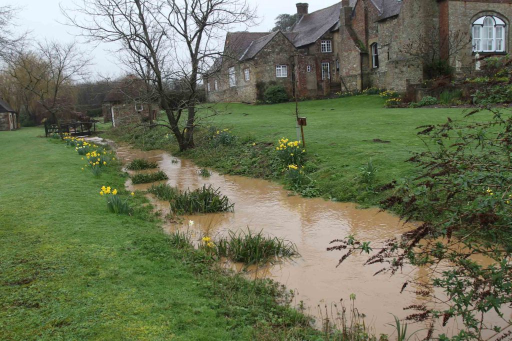
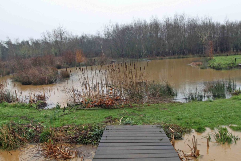
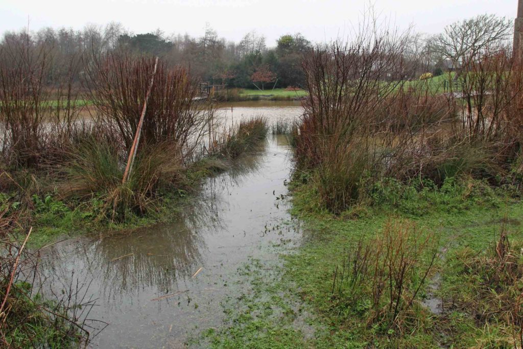
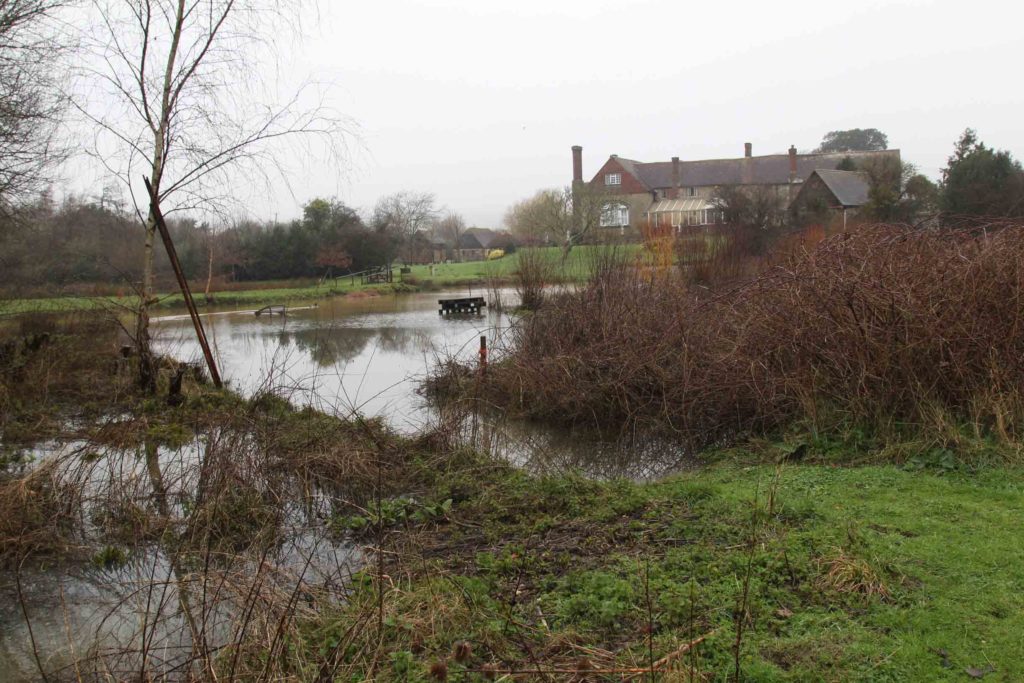
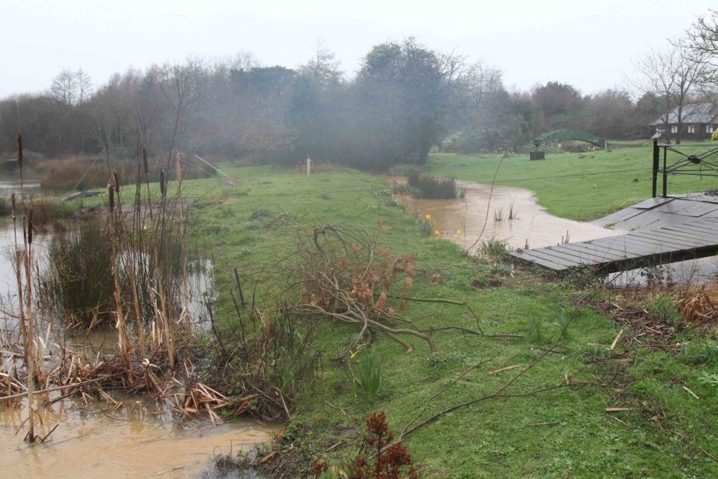
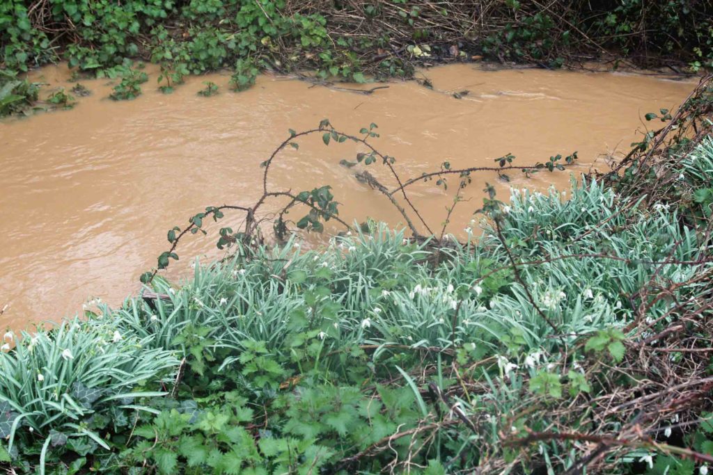
After the net mending Friday 28th. Feb. afternoon I wandered round the nearest parts of the Haseley Reserve in the rain with my camera to record the level of the red-silt-laden water.

I don’t know the name of this little brook that flows down the west side of the manor to the eastern Yar. When it comes over the banks the gravel of the car park and the area between the huts liquefies and becomes impassable but so far this year that has not happened.
There is a little tide line of debris on the south end of Slippery Bridge showing that the brook has come very high but not right across to Centre Lake, as in some previous years. The debris is trimmed from invasive sallows. Flooding from the Eastern Yar sometimes comes over the public footpath to flood the lakes so that the fish and invertebrate stocks are are replenished but so far this has not happened this year.
We wouldn’t want a mist net along Ride 49 at the moment.
Looking back across Centre Lake to the manor. The buildings are well-sited on an outcrop that protects them from flooding.
The well-built whoosh net apron (far left) has stayed clear of the water and is a favourite loafing place for the Canada Geese but we have yet to catch one this year.
My favourite snowdrops need damp soil in which to flourish.
Copyright Isle of Wight Ringing Group 2019